 French Polynesia
in the spotlight
eDivingPass is THE benchmark for diving passes in French Polynesia
nearly 40
diving centers
on 16 Islands
and 4 archipelagos
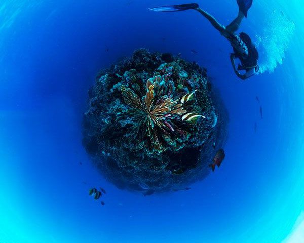
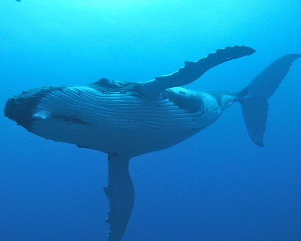
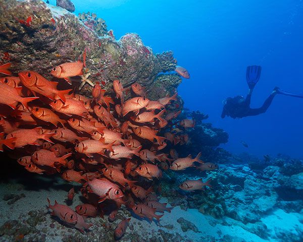
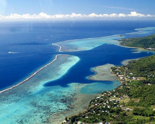
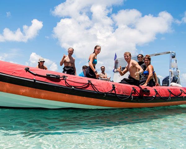
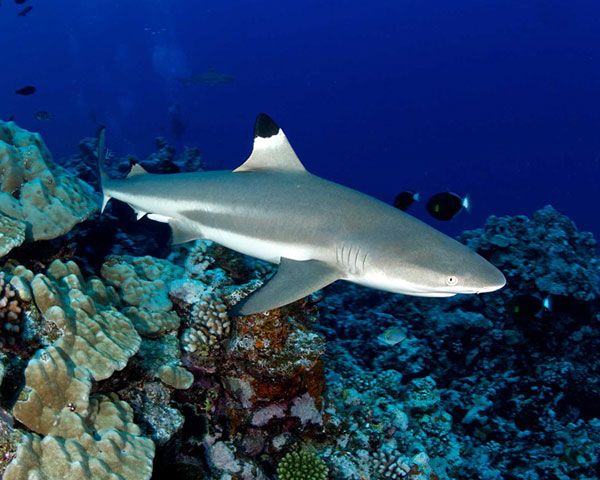
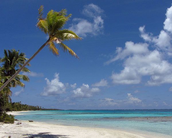
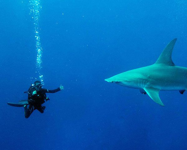
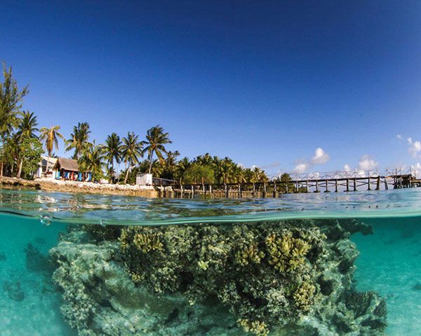
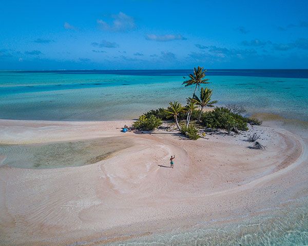
With forty diving centers partner


accepting
eDiving Pass (Diving Pass) 
diving base
also covered
by a provider
Explore French Polynesia
on worldoceanexperience.com

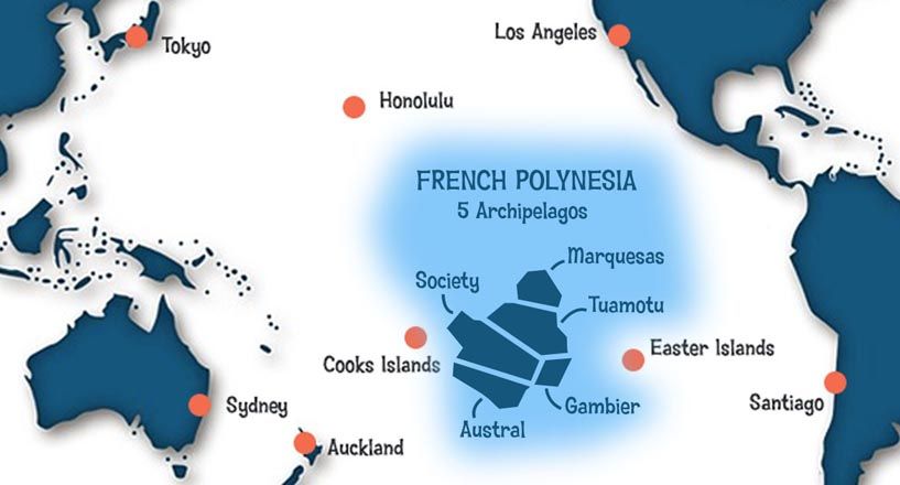
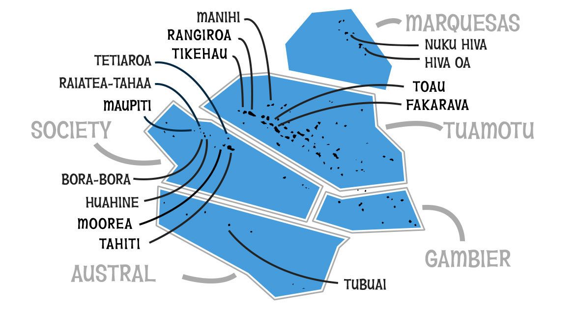

French Polynesia

Society
Archipelago

Tuamotu
Archipelago

Marquesas
Archipelago

Austral
Archipelago

Gambier
Archipelago
Explore French Polynesia Islands
-
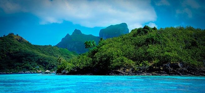
Bora-Bora
![]() SocietyBora Bora is an island in the Leeward group in the western part of the Society Islands of French Polynesia, in the Pacific Ocean. The island, located about 143 miles northwest of Papeete, is surrounded by a lagoon and a barrier reef. In the centre of the island are the remnants of an extinct volcano, the highest point at 2,385 feet. Bora Bora is a major international tourist destination, famous for its aqua-centric luxury resorts.
SocietyBora Bora is an island in the Leeward group in the western part of the Society Islands of French Polynesia, in the Pacific Ocean. The island, located about 143 miles northwest of Papeete, is surrounded by a lagoon and a barrier reef. In the centre of the island are the remnants of an extinct volcano, the highest point at 2,385 feet. Bora Bora is a major international tourist destination, famous for its aqua-centric luxury resorts.
-
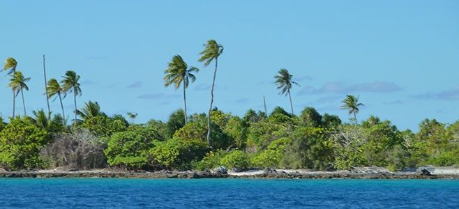
Fakarava
![]() Tuamotu - Unesco BiosphereFakarava is an atoll in the west of the Tuamotu group in French Polynesia. It is the second largest of the Tuamotu atolls. The shape of Fakarava Atoll is roughly rectangular and its length is 37 miles and its width 13 miles. Fakarava has a wide and deep lagoon with a surface of 429 square miles and two passes. The main pass to enter the lagoon, located in its north-western end, is known as Passe Garuae and it is the largest pass in French Polynesia; the southern pass is called Tumakohua (also known as Tetamanu). It has a land area of 6 square miles.
Tuamotu - Unesco BiosphereFakarava is an atoll in the west of the Tuamotu group in French Polynesia. It is the second largest of the Tuamotu atolls. The shape of Fakarava Atoll is roughly rectangular and its length is 37 miles and its width 13 miles. Fakarava has a wide and deep lagoon with a surface of 429 square miles and two passes. The main pass to enter the lagoon, located in its north-western end, is known as Passe Garuae and it is the largest pass in French Polynesia; the southern pass is called Tumakohua (also known as Tetamanu). It has a land area of 6 square miles.
Fakarava is one of the TOP 5 WORLDWIDE DESTINATIONS for scuba diving! Transparent water with a visibility of 30+ meters, Diversified & abundant fauna, Magnificent healthy corals.
-
Hiva Oa
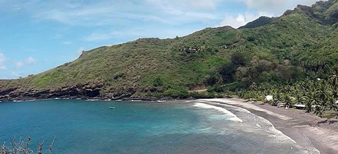
![]() MarquesasThe islands and atolls such as Tahiti, Rangiroa, Fakarava, Hiva Oa, are full of incomparable diving spots that will please all divers, from the amateur to the professional.
MarquesasThe islands and atolls such as Tahiti, Rangiroa, Fakarava, Hiva Oa, are full of incomparable diving spots that will please all divers, from the amateur to the professional.
The archipelago of the Marquesas Islands is a true underwater sanctuary, recognized thanks to the oceanographic mission Pakaihi I Te Moana, which explored the fabulous marine natural heritage of the archipelago, presumed exceptional and still poorly known, by associating scientific mission international and human adventure with the strong involvement of the Marquesan population.
-
Huahine
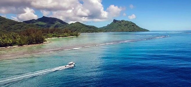
![]() SocietyHuahine is also called "The Island of Woman" because it has always been ruled by queens. The island has about 6,000 inhabitants over an area of 74 km2. It is composed of two mountain ranges separated by two bays.
SocietyHuahine is also called "The Island of Woman" because it has always been ruled by queens. The island has about 6,000 inhabitants over an area of 74 km2. It is composed of two mountain ranges separated by two bays.
The coral reef has emerged on the northern and eastern coasts, making it an elevated atoll. They grow vanilla, as well as melons and watermelons on the motus. It exploits copra and we practice fishing. It is on Huahine Nui that is Fare, principal city of the island and chief town of the municipality of Huahine. An aerodrome serves the island.
-
Mataiva
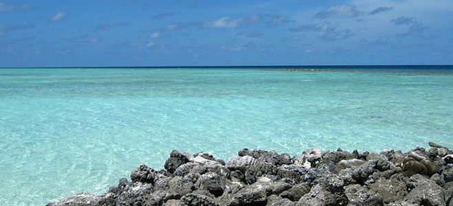
![]() TuamotuLocated 39 km west of Tikehau, the nearest island, Mataiva is part of the Tuamotu archipelago. With a length of 10 km and a maximum width of 5.5 km, a land area of 16 km2 and a lagoon of 25 km2, this small atoll is accessible by air and through a single pass to the west. Its lagoon, exceptional for the beauty of its many basins that can be seen from the sky, will give you an air of the end of the world! As for the pass, it's teeming with underwater species of all kinds.
TuamotuLocated 39 km west of Tikehau, the nearest island, Mataiva is part of the Tuamotu archipelago. With a length of 10 km and a maximum width of 5.5 km, a land area of 16 km2 and a lagoon of 25 km2, this small atoll is accessible by air and through a single pass to the west. Its lagoon, exceptional for the beauty of its many basins that can be seen from the sky, will give you an air of the end of the world! As for the pass, it's teeming with underwater species of all kinds.
-
Mahini
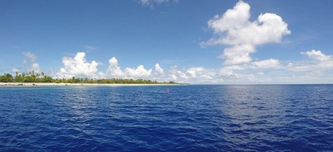
![]() TuamotuThe Manihi atoll in the Tuamotu in French Polynesia, known for its pearls, richness and diversity of fish, welcomes you for dives away from the bubble plants. Manihi is a mountain planted in a sea whose summit touches the surface. The falls are dizzying but accessible to all. The water is limpid and multiple species are found around the pass for an explosion of life.
TuamotuThe Manihi atoll in the Tuamotu in French Polynesia, known for its pearls, richness and diversity of fish, welcomes you for dives away from the bubble plants. Manihi is a mountain planted in a sea whose summit touches the surface. The falls are dizzying but accessible to all. The water is limpid and multiple species are found around the pass for an explosion of life.
You will discover groupings of groupers who gather for their reproduction, an exceptional moment in the Tuamotus. Accommodation on private motus will transport you to paradise. A dream destination. A paradise made of salt, water and dives.
-
Maupiti
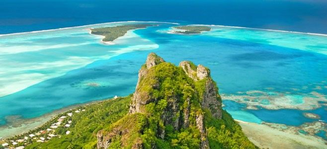
![]() SocietyMaupiti is one of the Leeward Islands in the Society archipelago in French Polynesia. It forms, with three atolls, the commune of Maupiti, of which it is the capital.It is located 52 km west of Bora-Bora. It consists of a central island located in an atoll with several motus. It is one of the last remaining high islands in the Society’s archipelago. There are 1,200 inhabitants.
SocietyMaupiti is one of the Leeward Islands in the Society archipelago in French Polynesia. It forms, with three atolls, the commune of Maupiti, of which it is the capital.It is located 52 km west of Bora-Bora. It consists of a central island located in an atoll with several motus. It is one of the last remaining high islands in the Society’s archipelago. There are 1,200 inhabitants.
-
Moorea
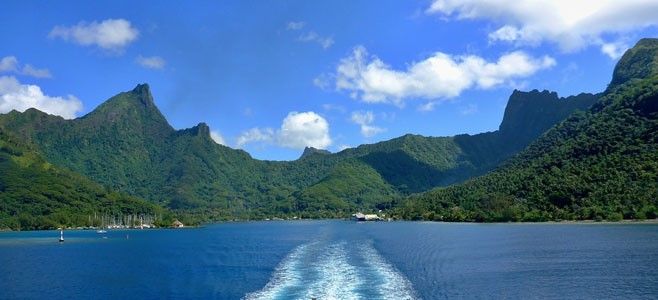
![]() SocietyMoorea, about 10 miles in width from the west to the east, is an high island in French Polynesia, one of the Windward Islands, part of the Society Islands, 11 miles northwest of Tahiti. Several ferries go to the Vaiare wharf in Moorea daily from Papeete, the Tahitian capital. There is one road that goes around the island. Along the road are kilometre markers from 1 (airport) to 35 (Haapiti). There are two bays called Opunohu Bay and Cook's Bay. The highest point is near the center of Moorea.
SocietyMoorea, about 10 miles in width from the west to the east, is an high island in French Polynesia, one of the Windward Islands, part of the Society Islands, 11 miles northwest of Tahiti. Several ferries go to the Vaiare wharf in Moorea daily from Papeete, the Tahitian capital. There is one road that goes around the island. Along the road are kilometre markers from 1 (airport) to 35 (Haapiti). There are two bays called Opunohu Bay and Cook's Bay. The highest point is near the center of Moorea.
-
Nuku Hiva
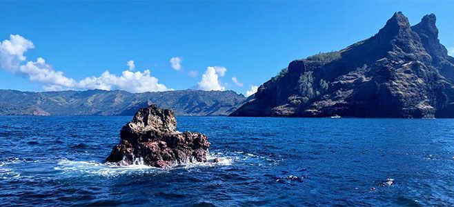
![]() MarquesasNuku Hiva is a volcanic island located in the Marquesas Islands of French Polynesia. It is the largest of the Marquesas Islands, covering an area of approximately 339 square kilometers. The island is known for its rugged terrain and deep valleys covered with lush vegetation. It has one airport and several small villages, with Taiohae being the largest. Taiohae Bay is the largest and most sheltered bay on the island.
MarquesasNuku Hiva is a volcanic island located in the Marquesas Islands of French Polynesia. It is the largest of the Marquesas Islands, covering an area of approximately 339 square kilometers. The island is known for its rugged terrain and deep valleys covered with lush vegetation. It has one airport and several small villages, with Taiohae being the largest. Taiohae Bay is the largest and most sheltered bay on the island.
-
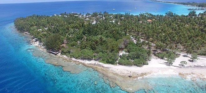
Raiatea
![]() SocietyRaiatea, is the second largest of the Society Islands, after Tahiti, in French Polynesia. The main township on Raiatea is 'Uturoa. The islands of Raiatea and Taha'a are enclosed by a single coral reef, and may once have been a single island. Raiatea is both the largest and most populated island in the Leeward Islands, with a land area of 64.7 sq mi and a total population of 12,024 inhabitants at the August 2007 census.
SocietyRaiatea, is the second largest of the Society Islands, after Tahiti, in French Polynesia. The main township on Raiatea is 'Uturoa. The islands of Raiatea and Taha'a are enclosed by a single coral reef, and may once have been a single island. Raiatea is both the largest and most populated island in the Leeward Islands, with a land area of 64.7 sq mi and a total population of 12,024 inhabitants at the August 2007 census.
-
Rangiroa
![]() TuamotuRangiroa is the largest atoll in the Tuamotu, and one of the largest in the world. It is part of the Palliser group. It is about 220 miles northeast of Tahiti. The atoll consists of about 415 motus, islets and sandbars. There are approximately one hundred narrow passages (passes), called hoa, in the fringing reef.It has daily connections with Tahiti, an exceptional lagoon and passes which are good sites for scuba diving attract a steady number of tourists. These are accommodated in some hotels and guesthouses.
TuamotuRangiroa is the largest atoll in the Tuamotu, and one of the largest in the world. It is part of the Palliser group. It is about 220 miles northeast of Tahiti. The atoll consists of about 415 motus, islets and sandbars. There are approximately one hundred narrow passages (passes), called hoa, in the fringing reef.It has daily connections with Tahiti, an exceptional lagoon and passes which are good sites for scuba diving attract a steady number of tourists. These are accommodated in some hotels and guesthouses.
Rangiroa is one of the TOP 5 WORLDWIDE DESTINATIONS for scuba diving in the world in and around the Tiputa Pass. Sedentary common bottlenose dolphins (Tursiops truncatus) regularly play group in the Pass. They can be viewed from the mainland but it is also one of the few places where they can be approached in scuba diving.

-
Tahaa
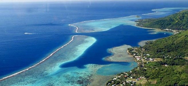
![]() SocietyRaiatea, is the second largest of the Society Islands, after Tahiti, in French Polynesia. The main township on Raiatea is 'Uturoa. The islands of Raiatea and Taha'a are enclosed by a single coral reef, and may once have been a single island. Raiatea is both the largest and most populated island in the Leeward Islands, with a land area of 64.7 sq mi and a total population of 12,024 inhabitants at the August 2007 census.
SocietyRaiatea, is the second largest of the Society Islands, after Tahiti, in French Polynesia. The main township on Raiatea is 'Uturoa. The islands of Raiatea and Taha'a are enclosed by a single coral reef, and may once have been a single island. Raiatea is both the largest and most populated island in the Leeward Islands, with a land area of 64.7 sq mi and a total population of 12,024 inhabitants at the August 2007 census.
-
Tahiti
![]() SocietyTahiti is the largest island in the Windward group of French Polynesia, located in the Society Islands archipelago in the central Southern Pacific Ocean, between Hawaii, Chile and Australia. The island was formed from volcanic activity and is high and mountainous with surrounding coral reefs. Tahiti is the economic, cultural and political centre of French Polynesia, with the only international airport in the region, FAAA International Airport (PPT).
SocietyTahiti is the largest island in the Windward group of French Polynesia, located in the Society Islands archipelago in the central Southern Pacific Ocean, between Hawaii, Chile and Australia. The island was formed from volcanic activity and is high and mountainous with surrounding coral reefs. Tahiti is the economic, cultural and political centre of French Polynesia, with the only international airport in the region, FAAA International Airport (PPT).
Tahiti is divided into two parts: The bigger, northwestern part Tahiti Nui and the smaller, southeastern part Tahiti Iti. The interior of Tahiti Nui is almost entirely uninhabited, and Tahiti-Iti's southeastern half is accessible only to those travelling by boat or on foot. The rest of the island is encircled by a main road which cuts between the mountains and the sea. A scenic and winding interior road climbs past dairy farms and citrus groves with panoramic views.

-
Tahiti-Iti
![]() SocietyTahiti is the largest island in the Windward group of French Polynesia, located in the Society Islands archipelago in the central Southern Pacific Ocean, between Hawaii, Chile and Australia. The island was formed from volcanic activity and is high and mountainous with surrounding coral reefs. Tahiti is the economic, cultural and political centre of French Polynesia, with the only international airport in the region, FAAA International Airport (PPT).
SocietyTahiti is the largest island in the Windward group of French Polynesia, located in the Society Islands archipelago in the central Southern Pacific Ocean, between Hawaii, Chile and Australia. The island was formed from volcanic activity and is high and mountainous with surrounding coral reefs. Tahiti is the economic, cultural and political centre of French Polynesia, with the only international airport in the region, FAAA International Airport (PPT).
Tahiti is divided into two parts: The bigger, northwestern part Tahiti Nui and the smaller, southeastern part Tahiti Iti. The interior of Tahiti Nui is almost entirely uninhabited, and Tahiti-Iti's southeastern half is accessible only to those travelling by boat or on foot. The rest of the island is encircled by a main road which cuts between the mountains and the sea. A scenic and winding interior road climbs past dairy farms and citrus groves with panoramic views.
-
Tetiaroa
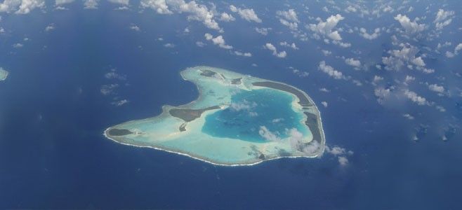
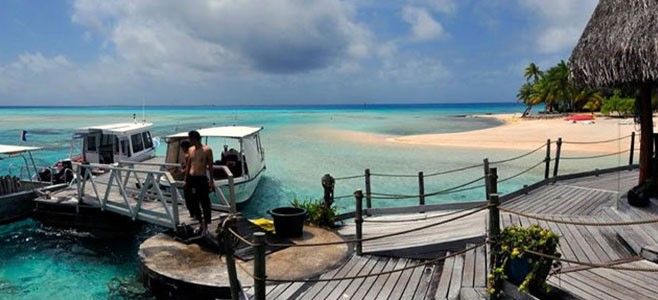
![]() SocietyTeti'aroa is an atoll in the Windward group of the Society Islands of French Polynesia, an overseas territorial collectivity of France in the Pacific Ocean. Once the vacation spot for Tahitian royalty, the islets are under a 99-year lease contracted by Marlon Brando.
SocietyTeti'aroa is an atoll in the Windward group of the Society Islands of French Polynesia, an overseas territorial collectivity of France in the Pacific Ocean. Once the vacation spot for Tahitian royalty, the islets are under a 99-year lease contracted by Marlon Brando.
-
Tikehau
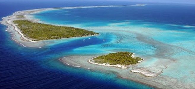
![]() TuamotuTikehau is a coral atoll in the Palliser Islands group, part of the Tuamotu Archipelago in French Polynesia. It is included in the commune of Rangiroa. Tikehau is located 210 miles northeast of Tahiti. The nearest atoll, Rangiroa, lies only 7.5 miles to the east. The atoll's oval-shaped lagoon is 17 miles long and 12 miles wide with a lagoon area of about 178 square miles. The atoll is made up of two major islands and numerous islets.
TuamotuTikehau is a coral atoll in the Palliser Islands group, part of the Tuamotu Archipelago in French Polynesia. It is included in the commune of Rangiroa. Tikehau is located 210 miles northeast of Tahiti. The nearest atoll, Rangiroa, lies only 7.5 miles to the east. The atoll's oval-shaped lagoon is 17 miles long and 12 miles wide with a lagoon area of about 178 square miles. The atoll is made up of two major islands and numerous islets.
The whole atoll is surrounded by an almost continuous coral reef. There is a single pass Tuheiava Pass, located on the western shore. The islands and islets are covered with coconut palms. The main village is called Tuherahera. Jacques Cousteau's discovered that it contains a greater variety of fish species than any other place in French Polynesia.
-
Toau
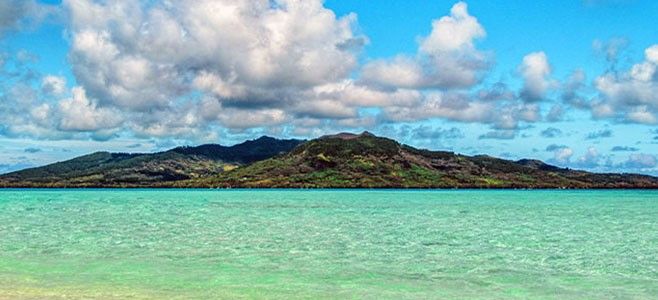
![]() TuamotuToau, Pakuria, or Taha-a-titi is a coral atoll in French Polynesia, one of the Palliser Islands (Îles Pallisier). Toau has a wide lagoon; length 35 kilometres (22 miles), width 18 kilometres (11 miles). The nearest land is Fakarava Atoll, located 14 kilometres (8.7 miles) to the southeast.
TuamotuToau, Pakuria, or Taha-a-titi is a coral atoll in French Polynesia, one of the Palliser Islands (Îles Pallisier). Toau has a wide lagoon; length 35 kilometres (22 miles), width 18 kilometres (11 miles). The nearest land is Fakarava Atoll, located 14 kilometres (8.7 miles) to the southeast.
Toau Atoll had a population of 18 in 2012. The main village is called Maragai.
-
Tubuai
![]() AustralThe island of Tubuai is located in the centre of the group of the Austral Islands at 640 km south of Tahiti. The surface area is 45 km2. The island consists of two ancient volcanic ensembles culminating at 422 m. The island is surrounded by an important lagoon which is the most extensive of the Austral Islands.
AustralThe island of Tubuai is located in the centre of the group of the Austral Islands at 640 km south of Tahiti. The surface area is 45 km2. The island consists of two ancient volcanic ensembles culminating at 422 m. The island is surrounded by an important lagoon which is the most extensive of the Austral Islands.
The coral reef that surrounds it delineates an area of 85 km2 or twice the size of the island. It sometimes reaches 5 km wide. Its depth is low, hence a characteristic blue turquoise color even jade. The waters are constantly renewing thanks to a rather strong and fairly constant current. This contributes, among other things, to the preservation of the ocean floor and to the health of the coral that does not suffer from whitening as in other islands.
